How Digital Mapping Technologies Are Redefining Land Management
Key Takeaways
- Digital mapping technologies significantly improve the precision and reliability of land surveys and boundary assessments.
- They help governments and organizations optimize land use while supporting conservation and sustainability goals.
- Integration with GIS enables streamlined data access and more informed, data-driven decision processes.
- Real-time data collection empowers prompt responses to environmental and infrastructural challenges.
- Digital archives for land records boost transparency, accuracy, and trust among landowners and regulators.
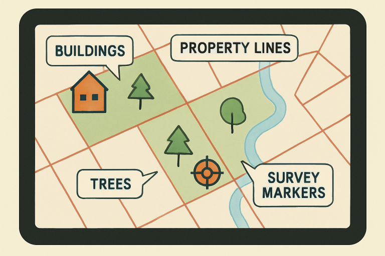
Land management is transforming with digital mapping technologies, which bring precision and accessibility. These tools help experts and everyone else make smarter, sustainable decisions about boundaries, infrastructure, and ecosystems, with applications expanding annually. Tools like an app that shows property lines make property and land-related decision-making more accurate and accessible than ever before, bridging the gap between high-tech analysis and practical usability.
As land grows more valuable and regulation tightens, governments and private groups need reliable spatial data for management. Digital maps and GIS enable visualization, analysis, and sharing of data, reducing errors and improving collaboration with stakeholders. This technology transforms urban planning to rural agriculture, making adaptive management the new standard for responsible stewardship.
Enhancing Accuracy in Land Surveys
Old-fashioned land surveys relied on manual measurements, often leading to costly errors and disputes. Today, digital mapping with high-resolution satellite imagery, LiDAR, and drone scans marks a significant shift. For example, the introduction of 3D terrain mapping by Digital Agricultural Services (DAS) in 2025 set new standards for accuracy in property assessment and remote trading. These advances benefit industries like real estate, agriculture, and banking by providing clearer insights and smoother transactions. This mapping technology also helps the public understand property boundaries and land values through user-friendly tools, reducing legal uncertainties and fostering community trust.
Streamlining Land Use Planning
Planning for urban growth, agriculture, or conservation requires multidimensional data. Digital mapping combines data on environmental constraints and property lines, offering layered visuals for planners. This helps municipalities and developers prioritize projects while protecting habitats and reducing conflicts between growth and preservation. GIS tools enable planners to assess factors like soil health, flood risk, and utility access on one map.
Facilitating Environmental Conservation
Environmental agencies and nonprofits use digital mapping for land change monitoring, protected areas, and biodiversity. High-res imagery and topographic data identify deforestation, urban growth, and invasive species, enabling prompt response. For instance, New Zealand’s 3D maps forecast risks like flooding and erosion and support conservation. Data-driven land management improves precision, aiding scientists, policymakers, and conservationists to allocate resources, restore ecosystems, and enhance resilience—tasks unachievable with old methods, fostering a sustainable management system.
Integrating with Geographic Information Systems (GIS)
GIS serves as the backbone for integrating diverse spatial datasets required for land management. By layering real estate, environmental, economic, and demographic data, GIS platforms turn complicated information into intuitive, actionable maps. Professionals use these tools to optimize pipeline routes, oversee lease agreements, and assess environmental impacts, often saving both time and money. AGIS is central to smarter, faster, and more sustainable project planning—and with the expansion of digital mapping, the power and versatility of these systems continue to grow.
Real-Time Data Collection and Analysis
Mobile mapping solutions, drones, and IoT sensors are bringing the era of real-time field data. Utilities, infrastructure companies, and land managers can now access information instantly, integrating live data into asset management systems and dispatching crews more safely and efficiently. Enhanced with cloud connectivity, these platforms eliminate the delays and errors that haunted manual reporting, driving up job quality while reducing on-the-ground risks. This immediate feedback loop supports proactive decision-making, whether responding to a storm’s aftermath or executing large-scale infrastructure maintenance.
Reducing Disputes and Increasing Transparency
One of the most profound impacts of digital mapping is on the legal and regulatory frameworks that govern land ownership. Digital records provide immutable, easily shareable archives that reduce ambiguity and the risk of fraud, making land transactions more transparent for all parties. For governments in regions with limited historical documentation, digitalization also serves as a bulwark against record loss and maintenance issues. Robust, accessible databases are crucial to equitable development and dispute resolution, enabling landowners, officials, and communities to navigate an increasingly complex landscape confidently.
Conclusion
Digital mapping technologies are revolutionizing land management by enhancing accuracy, supporting strategic planning, promoting environmental protection, and making processes more transparent and trustworthy. As these technologies continue to develop—making it easier to view, analyze, and share spatial data—the benefits will only multiply. This digital transformation supports a future in which land resources are managed more responsibly, shaping healthier ecosystems and communities for generations to come.